The Backgrounds of the Chinese Maps: Their Reading and Understanding Public Lecture Series - The Chinese Maps collected in the Società Geografica Italiana
Co-organized by Institute of Chinese Studies, The Chinese University of Hong Kong,
École française d'Extrême-Orient, and The Hong Kong University of Science and Technology Library
Supporting Unit by Art Museum, The Chinese University of Hong Kong
The Chinese Maps collected in the Società Geografica Italiana
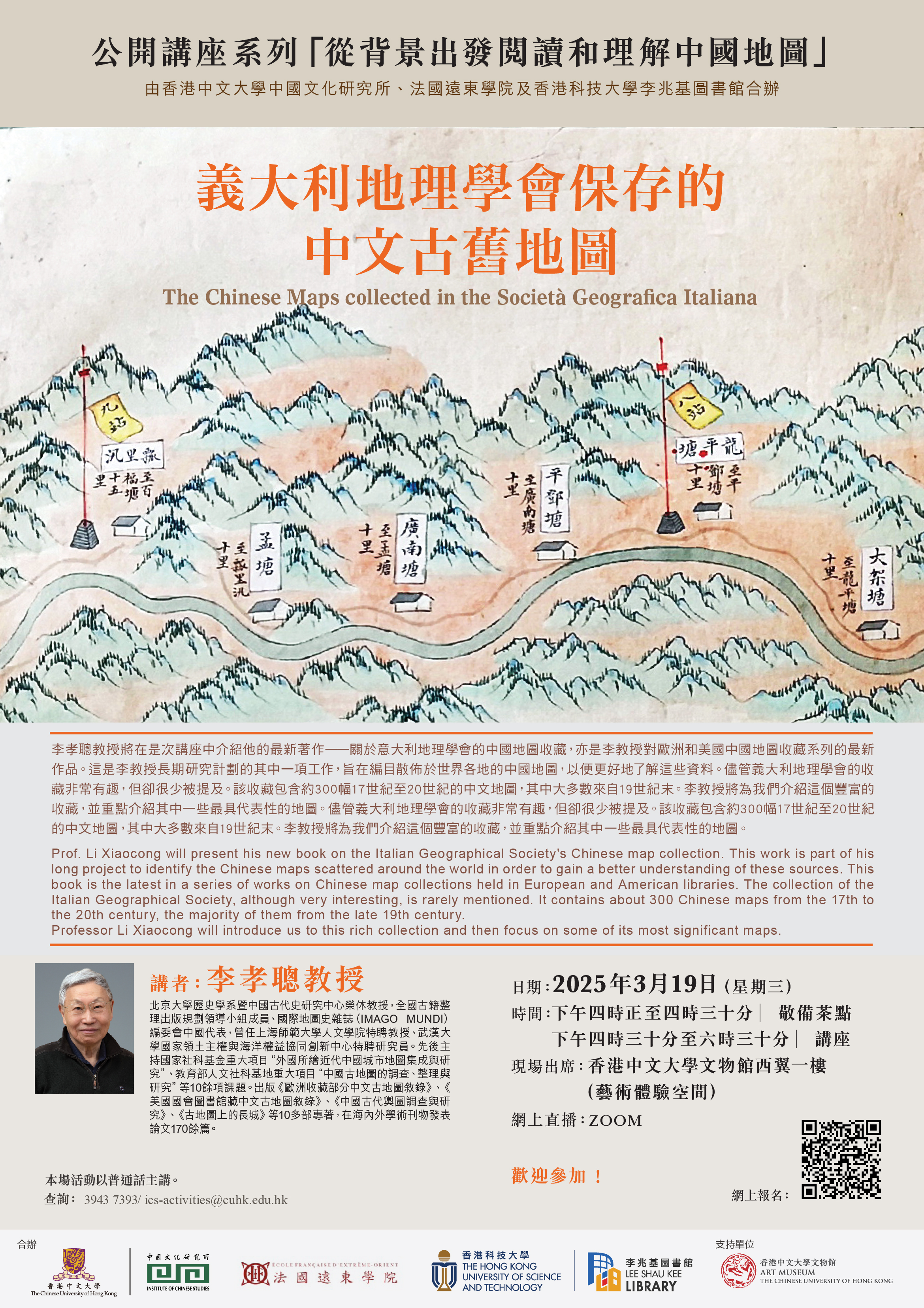
Prof. Li Xiaocong will present his new book on the Italian Geographical Society's Chinese map collection. This work is part of his long project to identify the Chinese maps scattered around the world in order to gain a better understanding of these sources. This book is the latest in a series of works on Chinese map collections held in European and American libraries. The collection of the Italian Geographical Society, although very interesting, is rarely mentioned. It contains about 300 Chinese maps from the 17th to the 20th century, the majority of them from the late 19th century.
Professor Li Xiaocong will introduce us to this rich collection and then focus on some of its most significant maps.
Speaker: Prof. Li Xiaocong (Peking University)
Date:19 March 2025 (Wednesday)
Time:4:30 p.m. - 6:30 p.m. (Tea reception starts at 4 p.m.)
On-site participation: Experiential Learning Space, 1/F, West Wing, Art Museum, CUHK
Online broadcasting: ZOOM
Conducted in Mandarin.
All are welcome!
Online Registration: https://cloud.itsc.cuhk.edu.hk/webform/view.php?id=13705734
Enquiry: 3943 7393 /