The Backgrounds of The Chinese Maps: Their Reading and Understanding Public Lecture Series – Dr. Marco Caboara: “The First Printed Missionary Map of East Asia- Hybrid Cartography and Propaganda”
Co-organized by Institute of Chinese Studies, The Chinese University of Hong Kong,
École française d'Extrême-Orient, and The Hong Kong University of Science and Technology Library
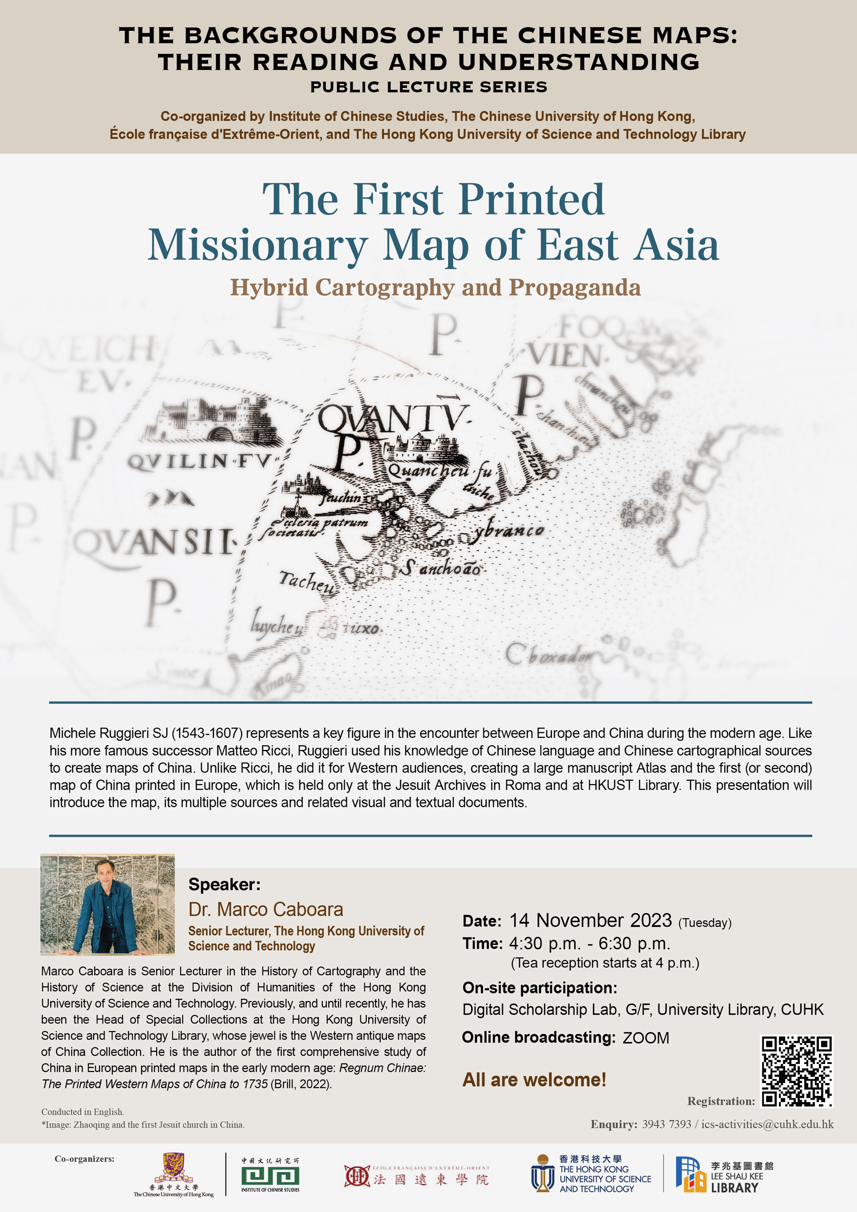
Michele Ruggieri SJ (1543-1607) represents a key figure in the encounter between Europe and China during the modern age. Like his more famous successor Matteo Ricci, Ruggieri used his knowledge of Chinese language and Chinese cartographical sources to create maps of China. Unlike Ricci, he did it for Western audiences, creating a large manuscript Atlas and the first (or second) map of China printed in Europe, which is held only at the Jesuit Archives in Roma and at HKUST Library. This presentation will introduce the map, its multiple sources and related visual and textual documents.
Speaker: Dr. Marco Caboara (Senior Lecturer, The Hong Kong University of Science and Technology)
Marco Caboara is Senior Lecturer in the History of Cartography and the History of Science at the Division of Humanities of the Hong Kong University of Science and Technology. Previously, and until recently, he has been the Head of Special Collections at the Hong Kong University of Science and Technology Library, whose jewel is the Western antique maps of China Collection. He is the author of the first comprehensive study of China in European printed maps in the early modern age: Regnum Chinae: The Printed Western Maps of China to 1735 (Brill, 2022).
Date:14 November 2023 (Tuesday)
Time:4:30 p.m. - 6:30 p.m. (Tea reception starts at 4 p.m.)
On-site participation: Digital Scholarship Lab, G/F, University Library, CUHK
Online broadcasting: ZOOM
Online Registration: Click here
Conducted in English.
All are welcome!
Enquiry: 3943 7393 /